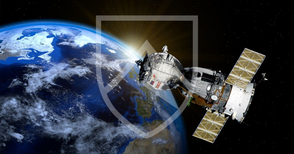
Orbital Intelligence: Using Satellite Imagery for Metals Mining 🛰️⛏️
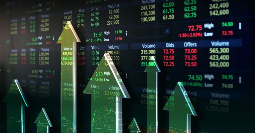
The demand for critical minerals is surging globally. Consequently, traditional exploration methods often prove too slow or expensive for modern requirements. The integration of Satellite Imagery Mining techniques now offers a revolutionary way to identify and monitor mineral deposits. At Crestmont Group, we leverage these advanced data streams to enhance our market intelligence. We provide our clients with a significant information advantage in the competitive metals sector.
How Satellite Imagery Mining Transforms Discovery
Modern satellites capture data far beyond the visible spectrum. Specifically, they utilize multispectral and hyperspectral sensors to detect unique mineral “signatures” from space. Therefore, geologists can identify high-potential zones without setting foot on the ground.
- Mineral Mapping: Satellites detect specific wavelengths reflected by copper, gold, or iron ore. Consequently, this narrows down search areas from thousands of miles to precise drill sites.
- Environmental Monitoring: Furthermore, firms use this technology to track the ecological impact of mining operations in real-time. This ensures compliance with global ESG standards.
- Infrastructure Tracking: We monitor the progress of port facilities and rail lines. This helps us predict supply chain bottlenecks before they occur.
Ultimately, using Satellite Imagery Mining reduces the time and capital required for early-stage exploration. It allows for a more efficient allocation of resources.
Mitigating Risks with Real-Time Observation
Data from space provides more than just geological maps. Firstly, we use Satellite Imagery Mining to verify the operational status of a mine. If a supplier claims high production but imagery shows empty pits, we immediately flag a potential Cost of Due Diligence Failure. Secondly, we track inventory stockpiles at remote sites.
Consequently, this data informs our broader financial strategies. Specifically, it provides the physical “ground truth” needed to secure Warehouse Receipts Collateral. Therefore, we can offer financing with higher confidence in the underlying asset’s value. You can explore the technical capabilities of earth observation from the European Space Agency (ESA).
The Future of Data-Driven Extraction
We believe that space-based data will define the next decade of commodity trading. Firstly, we combine these images with AI to predict global supply shifts. Secondly, we monitor the Geopolitics of Rare Earths by tracking mining activity in contested regions. Consequently, our clients receive alerts about supply shocks weeks before they hit the mainstream news.
Moreover, this technology enhances transparency across the entire supply chain. Ultimately, it protects investors from fraud and operational delays. Read more about the role of remote sensing in the extractive industries from the World Bank’s mining resources. By looking down from above, we help you see the opportunities and risks clearly on the ground.
Ready to gain a high-altitude perspective on your metals investments? Contact Crestmont Group today to see how Satellite Imagery Mining can secure your trading strategy.